 |
|

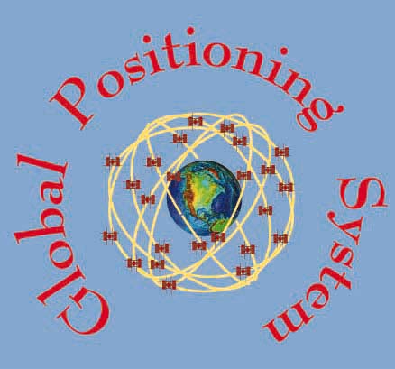
GPS is a satellite technology used as a tool to measure crustal changes.
What is GPS?
References Elosegui, P. (ed.). 1995. Geodesy using the Global
Positioning System: The effects of signal scattering on estimates of site
position. Journal of Geophysical Research, Vol. 100 (B7), 9921-9934.
Last modified on 8/13/98 by Maggi Glasscoe (scignedu@jpl.nasa.gov)
|