Slide 10 of 11
Notes:
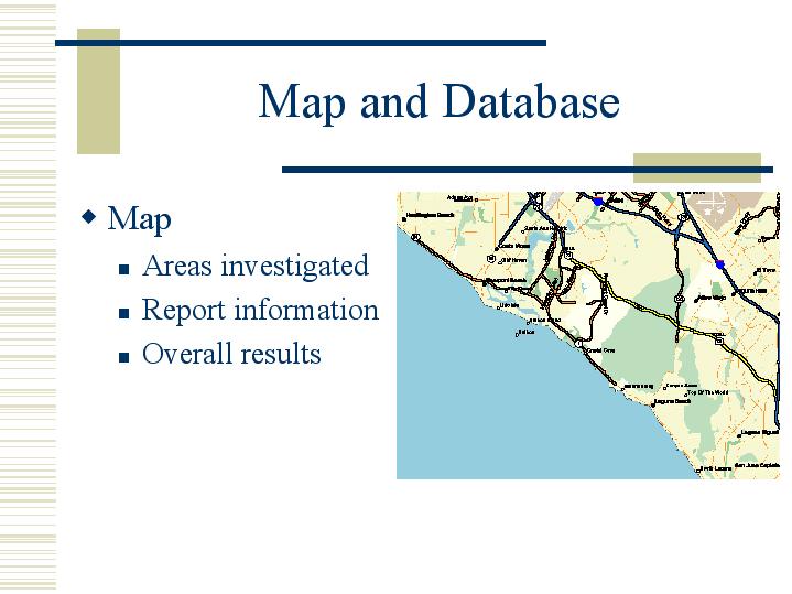
The GIS-based map will include the regions covered by the geotechnical reports and fault investigations.
Each study area will be linked to the bibliographic data and summary of findings that area.
The overall results of the region will be suggested by this map. Areas of high activity or little coverage will be easy to detect.


